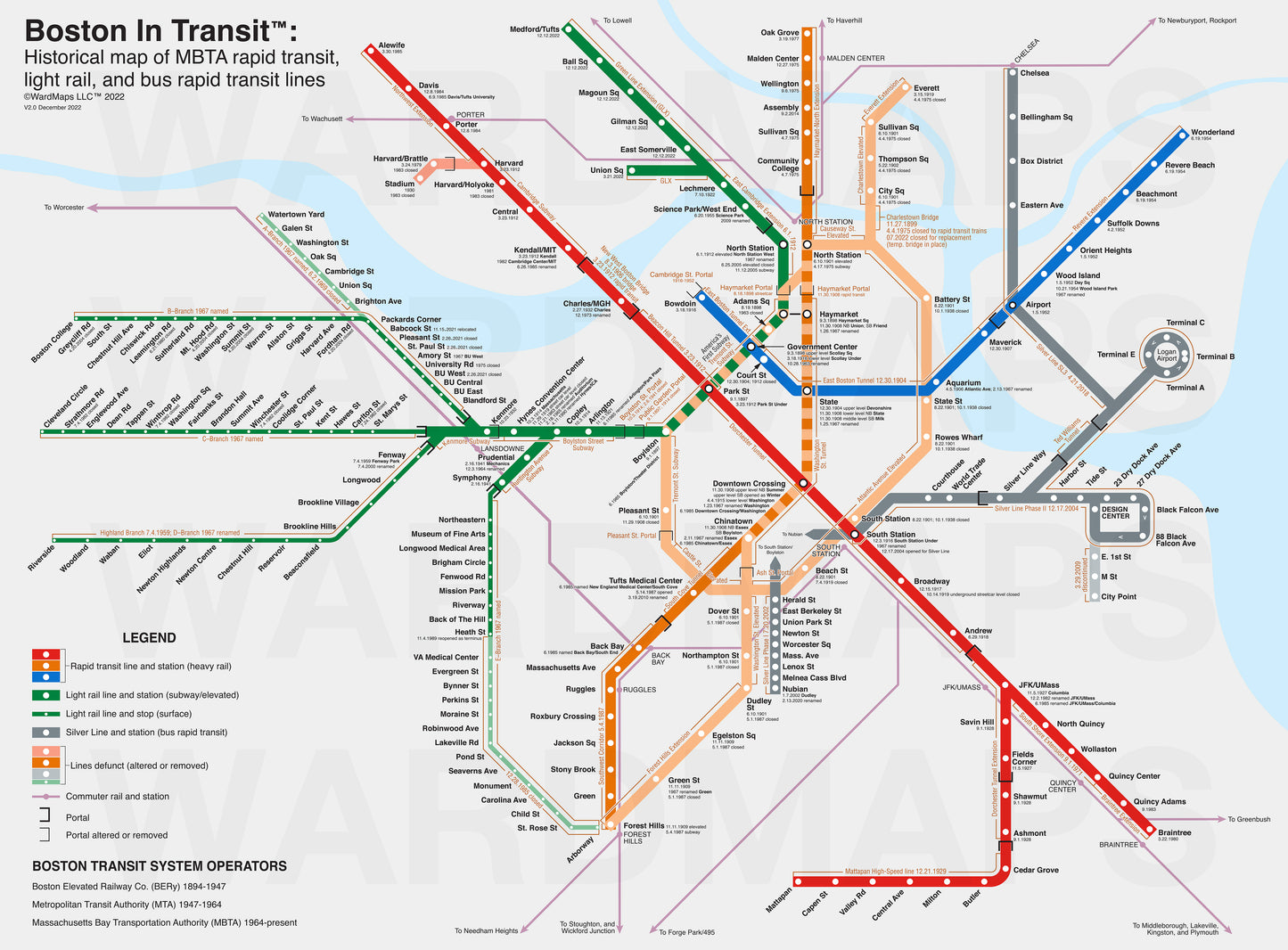
Here, we celebrate the rich history of public transportation infrastructure in Boston.This site is built aound Boston in Transit, the book.We've also created a map documenting the history of the MBTA's colored lines.Our collection contains hundreds of images, ephemera, and artifacts.
Starting in 2019, we began the process of digitizing images from various collections. Every month we add more content, including photographs, drawings, ephemera, and more.
Browse What's New
Browse by Category:Stations and PlacesTransit Lines and RoutesTransit OperatorsTransit Vehicles
Browse by Artifact Type:Advertisements and Car CardsArchitecture and Engineering DrawingsBrochures and PamphletsMapsPhotographsPostcard ViewsPrinted ViewsReportsSchedules and TimetablesStock and Bond CertificatesTickets and TokensTrack PlansSignage
Browse All Items
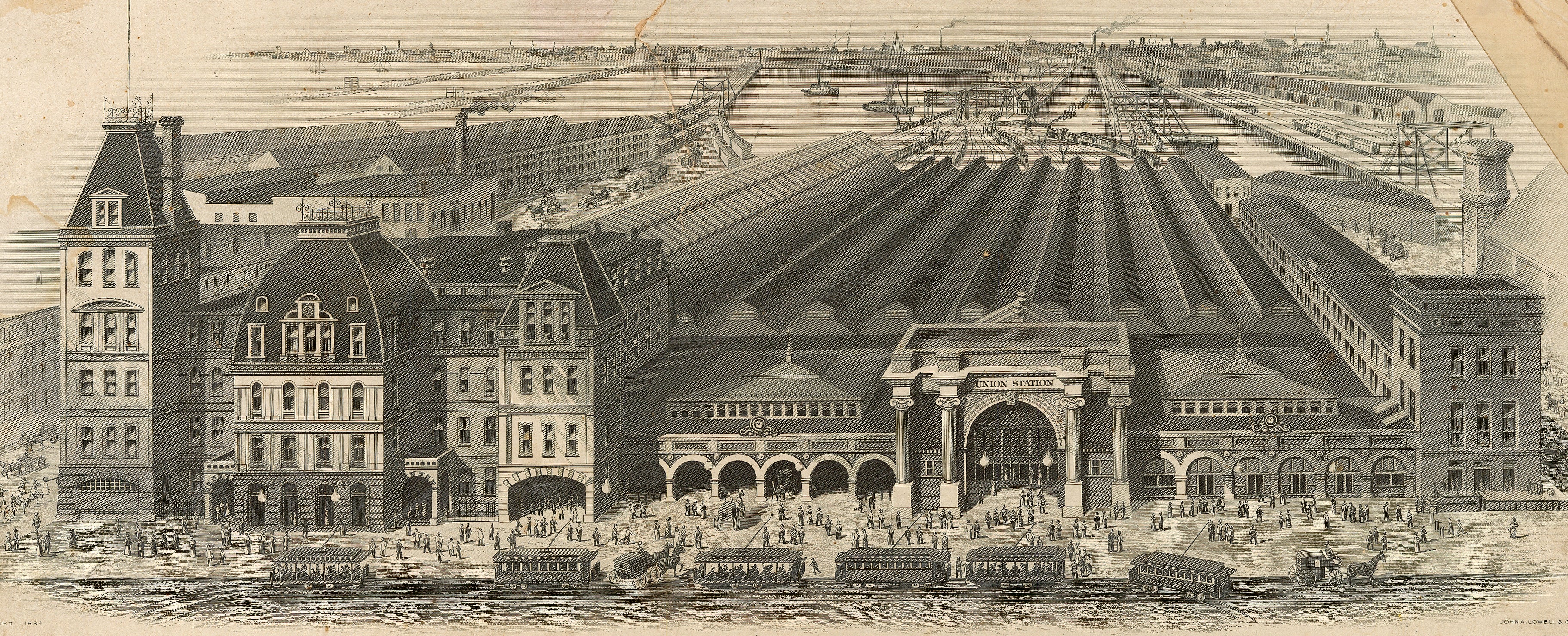
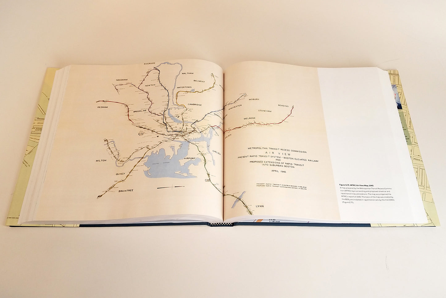
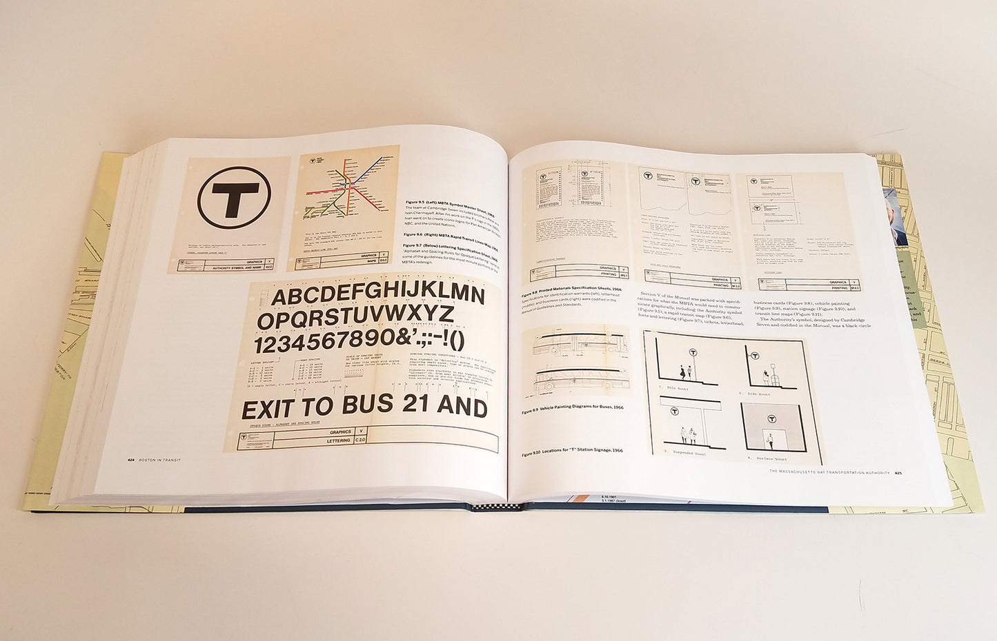
Browse Images from Boston in Transit the book:Images from the Book
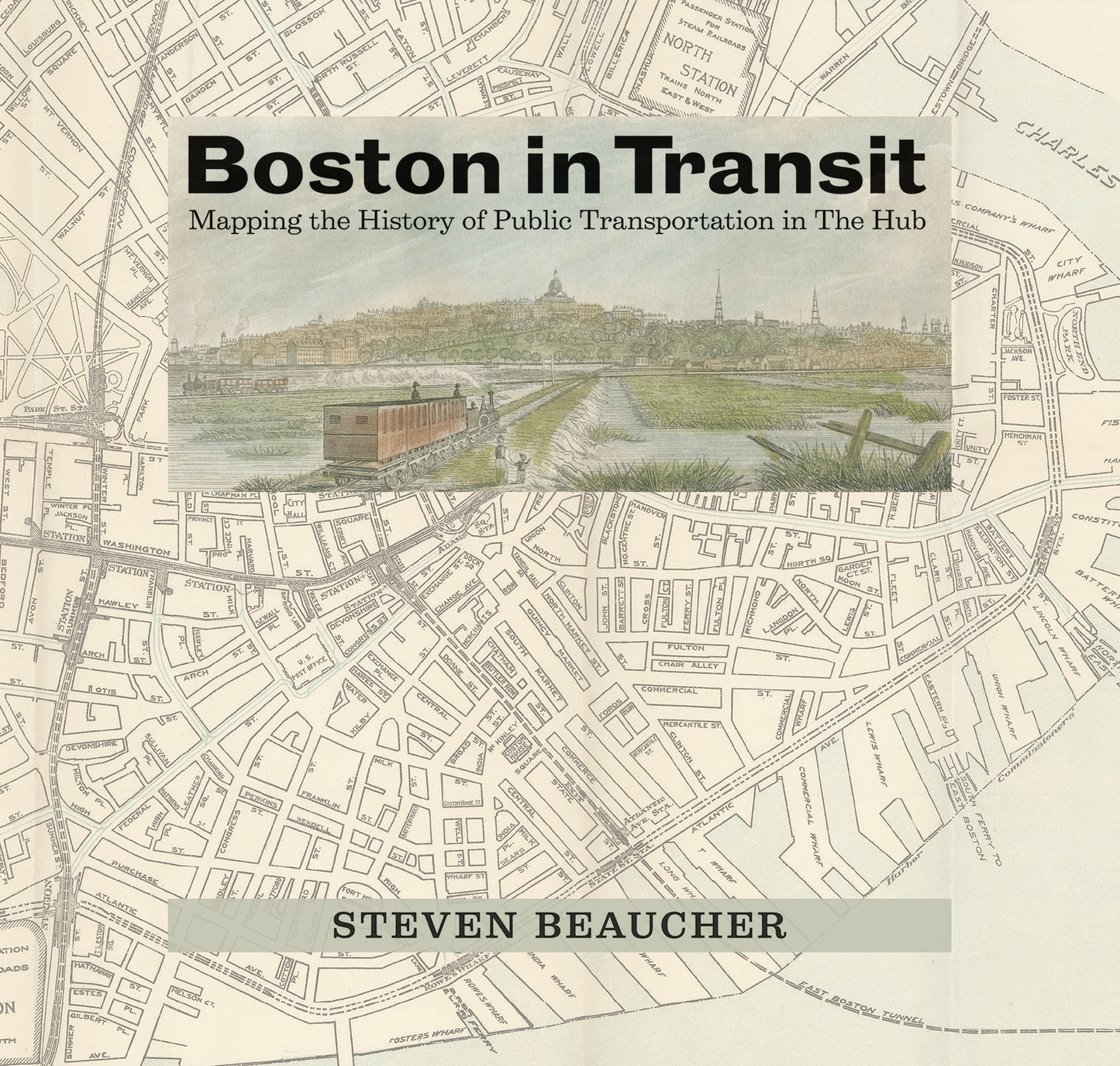
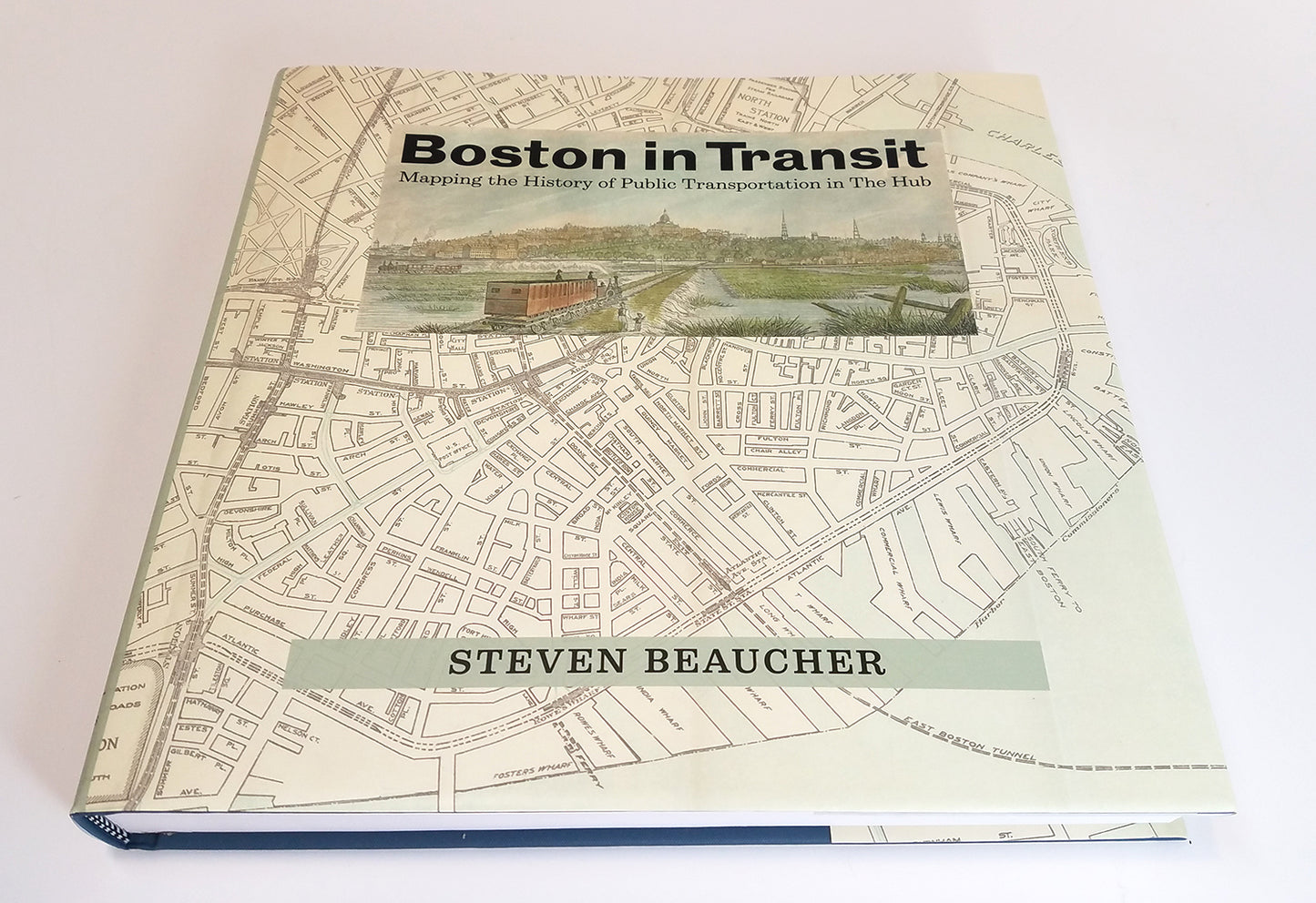
Boston in Transit - The Book!
Featured: